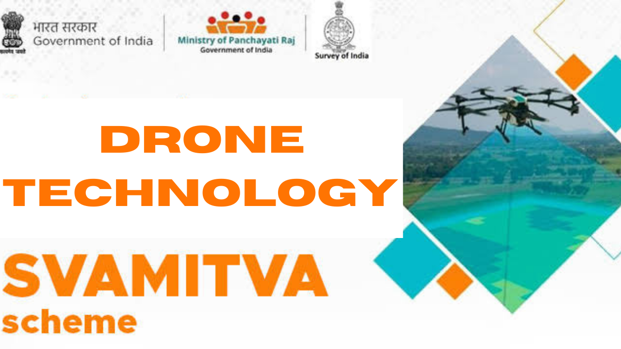
Survey of villages and mapping with improvised technology in village areas
What is svamitva scheme?
SVAMITVA, a Survey of villages and mapping with improvised technology in village areas under the ministry of Panchayati Raj, a central Sector Scheme, was launched nationwide by the Honorable Prime Minister on National Panchayati Raj Day, April 24, 2021, This scheme represents a transformative initiative aimed at establishing clear ownership of property in rural inhabited (“Abadi”) areas.
It achieves this by employing drone technology to map land parcels and provide ‘Record of Rights’ to village household owners, along with the issuance of legal ownership cards (Property cards/Title deeds) to the property owners. The implementation of the scheme is a collaborative effort involving the Ministry of Panchayati Raj, State Revenue Department, State Panchayati Raj Department, and Survey of India. SVAMITVA covers a wide range of aspects, including facilitating property monetization and enabling access to bank loans, reducing property-related disputes, comprehensive village-level planning, and serving as a crucial step towards achieving Gram Swaraj, empowering rural India to be self-reliant.
The scheme aims to accomplish the following objectives:
- Creating accurate land records to support rural planning and reduce property-related disputes.
- Providing financial stability to rural citizens by allowing them to use their property as a financial asset to secure loans and other financial benefits.
- Determining property tax, which would directly benefit Gram Panchayats in states where it is devolved, or contribute to the state’s finances.
- Establishing survey infrastructure and GIS maps that can be utilized by various government departments.
- Enhancing the quality of Gram Panchayat Development Plans (GPDP) by incorporating GIS maps into the planning process.
The CORS (Continuously Operating Reference Station) network plays a crucial role in location benchmarking, offering a remarkable accuracy level of 5 centimeters. It facilitates precise geo-referencing, ground truth verification, and land demarcation. This network entails the establishment of 567 CORS stations, forming a robust geo-positioning infrastructure as part of the scheme.
This infrastructure can effectively replace traditional chain surveys practiced in numerous states. Once operational, CORS stations can be accessed and utilized by various state agencies and departments, including the Revenue Department, Gram Panchayat (GP), Public Works Department, Rural Development Department, Agriculture, Drainage & Canal, Education, Electricity, Water, Health, and more. This extensive network empowers these entities to conduct surveys and implement GIS-based applications for improved accuracy and efficiency in their respective domains.
Identifies Areas of Impact
Society
Throughout history, scholars and development experts have established a strong connection between ‘Access to Property Rights’ and the ‘Enhancement of socio-economic well-being within vulnerable rural populations.’ The SVAMITVA Scheme is dedicated to achieving this very objective.
Land Governance
Land is a fundamental resource that underpins economic activities aimed at generating material wealth worldwide. The absence of clearly defined Abadi areas has given rise to a high number of land-related disputes. Reports indicate that millions of people in India and around the world endure the consequences of such conflicts. The SVAMITVA Scheme seeks to tackle the root causes of these disputes at the local level.
Sustainable Habitats
By providing high-resolution digital maps, the SVAMITVA Scheme contributes to the development of more effective Gram Panchayat Development Plans (GPDP). This, in turn, leads to enhancements in various infrastructural aspects, including schools, community health centers, rivers, street lighting, roads, and more. It facilitates efficient allocation of funds and increases accessibility.
Economic Growth
The primary outcome is to empower individuals to leverage their property as collateral, thereby contributing to India’s economic growth. Additionally, it streamlines property tax collection in states where it is levied, resulting in increased investments and a more business-friendly environment.
The new phase of Svamitva scheme is recently launched in jammu and kashmir by the Revenue Department in collaboration of the Department of Survey.
Why are drones used in jammu and kashmir?
The drones are used to map land parcels and provide ‘Record of Rights’ to village household owners, along with the issuance of legal ownership cards (Property cards/Title deeds) to the property owners. (Aabadi deh)
For more details visit https://svamitva.nic.in/
Also read PM Vishwakarma Scheme

1 thought on “SVAMITVA Scheme”